
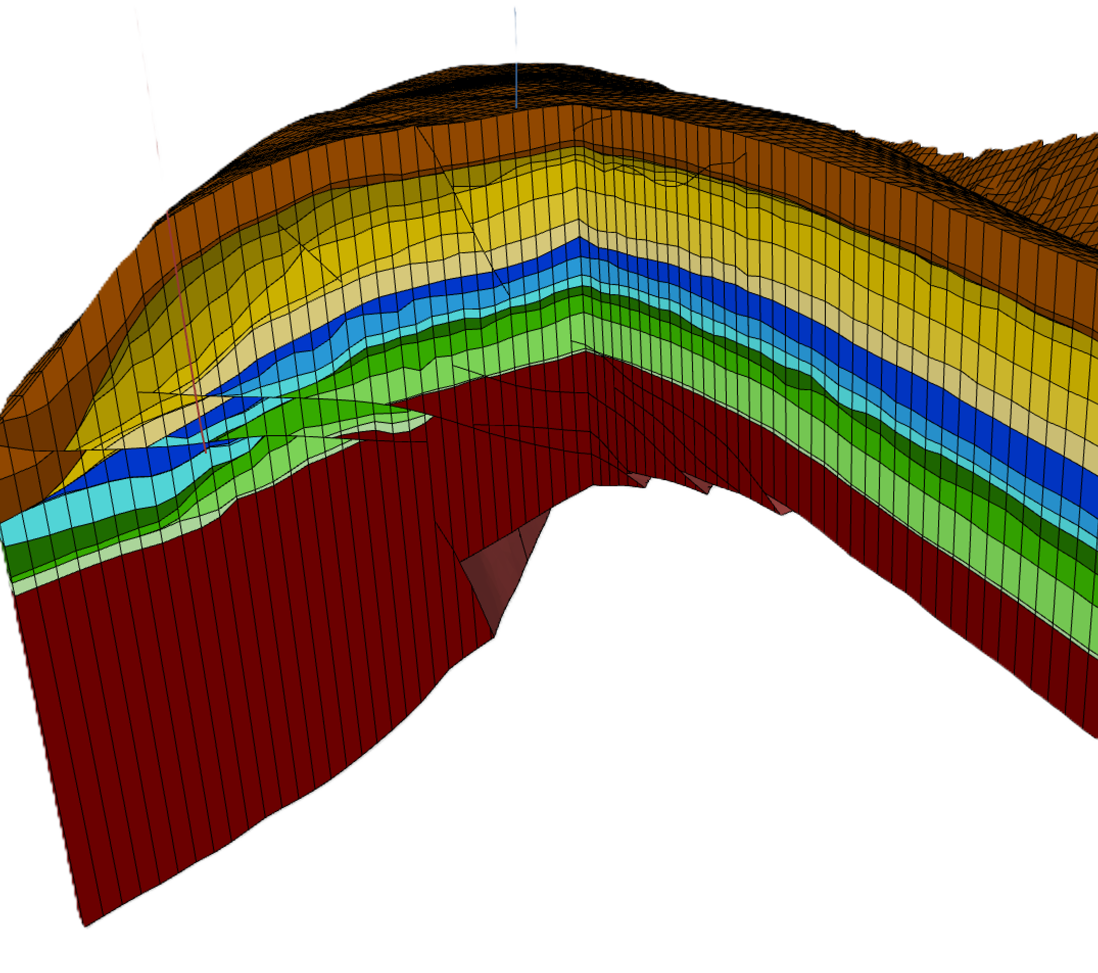
As part of a petroleum study, we built a static model of the Zagros region of Iraq.
In order to accurately capture the proximal-distal progradation of clinoforms, a carbonate platform model requires the construction of a high-resolution structural framework and facies model. Shelf-edge marginal marine progradation gives rise to porous and fractured carbonate reservoirs. A reliable model also enables fracture-related porosity to be estimated.
We incorporate revised geological concepts and maps, such as normalised amplitude, acoustic impedance and the trace envelope of mapped horizons and intervals, which are calibrated to well data and then converted into NG/G maps. This enables us to build the most realistic model possible, quantify oil and gas volumes in place, and identify the undrilled upside potential of the area.
This study involved deterministic and probabilistic calculations (including Monte Carlo sensitivity analysis) across multiple scenarios.